

Forsite launches PatrolView. One platform replacing multiple separate pipeline programs.
Predict. Prioritize. Protect. Aerial intelligence platform for right-of-way decisions — unifying patrol, threat and leak detection, imagery, and DOT compliance.
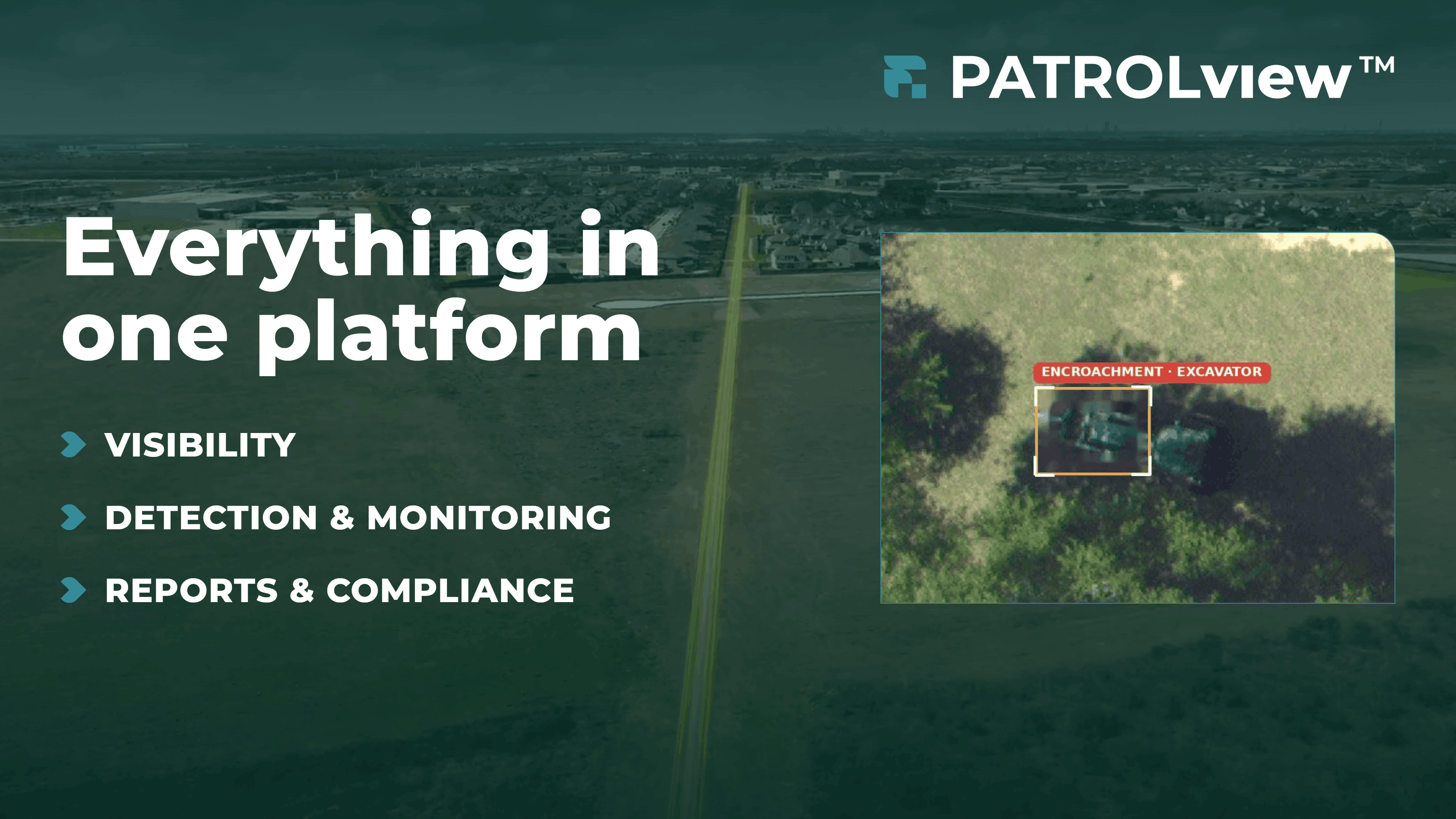
CONROE, TX, UNITED STATES, July 14, 2026 /EINPresswire.com/ -- Forsite today announced PatrolView™, a unified aerial intelligence platform that consolidates threat detection, liquid and methane leak monitoring, high-resolution imagery, vegetation planning, and DOT compliance into a single platform-delivered service. PatrolView™ is now in production with multiple operators across North America.
Backed by 85+ years of aerial patrol experience, PatrolView™ draws on Forsite's operational foundation: 2.2 million miles of DOT-mandated patrol annually, 70+ pipeline operators —several among the largest interstate transmission and midstream operators in North America — and 22 aerial bases. The platform enables a small right-of-way team to manage a continental network.
"Pipeline operators have historically managed patrol, threat detection, leak monitoring, compliance, and vegetation as separate programs. PatrolView™ brings them into one offering. We risk-rank threats and third-party activity, surface leading indicators alongside critical issues, and give operators one place to see site changes and aerial intelligence flight over flight."
— Kris Covey, VP, Oil & Gas, Forsite
Several of PatrolView™’s sensing capabilities are delivered through Forsite’s technology partnership with Flyscan Systems Inc., reflecting Forsite’s approach of bringing best-in-class technology into a single platform.
Capabilities available in the PatrolView™ service:
• Automated AI threat detection across 11 classes — heavy equipment, exposed pipe, ground disturbance, encroachment. Detections risk-ranked and georeferenced.
• Liquid hydrocarbon leak detection Hyperspectral sensing picks up slow-rate leaks and seeps below control-center monitoring sensitivity.
• Methane leak detection with rapid turnaround. Plume maps, GPS-to-peak concentration, and wind context integrated into PatrolView™ for flight-over-flight comparison.
• High-resolution imagery on every mile of every flight. Multi-year archive, change-detection between passes, an always-current basemap in ArcGIS or PatrolView™.
• Automated patrol reporting and DOT compliance tracking — every flight logged, audit-ready. Flight tracking produces the record operators need for DOT and PHMSA reviews.
• Predictive threat analytics combining detection history, imagery differencing, and site context to identify leading indicators before they escalate.
• Vegetation management planning multi-year, network-wide clearing plans tuned to growth rates, access, and regulations.
• LiDAR data collection for geohazards (separate flight) for downstream review by the operator’s engineering firm.
PatrolView™ is modular. Operators can add threat detection, leak monitoring, vegetation planning, LiDAR, or the full platform — and can adopt them in stages. Forsite can act as the patrol provider or integrate PatrolView™ with an operator's existing patroller and datasets, without disrupting existing relationships. The platform plugs into the operator's ArcGIS environment or runs as a standalone dashboard.
“PatrolView™ isn’t another data feed for operators to reconcile. We take siloed data sources and turn them into decisions: predict, prioritize, protect.”
— Kris Covey, VP, Oil & Gas, Forsite
The platform combines multi-purpose sensor pods (hyperspectral, optical, and laser-based instruments) with 30+ million training images and a team of 400+ former pipeline operators, remote-sensing specialists, patrol pilots, geospatial analysts and natural resource professionals.
See active threats, leak reports, compliance records, and historical changes across your pipeline system. Book a demo at forsitegeo.com/patrolview.
ABOUT FORSITE
Forsite is a geospatial intelligence company serving pipeline operators, utilities, energy companies, forest managers, and government agencies across North America. The company brings together aerial LiDAR, pipeline patrol, wildfire science, professional forestry, and environmental analytics under one roof, giving operators the complete operating picture their decisions depend on. Forsite operates the industry's largest dedicated pipeline patrol network and has collected high-density LiDAR across 1.9 million square miles of North America. For more information, visit forsitegeo.com.
ABOUT FLYSCAN
Flyscan Systems Inc. is the first company in the world to enable detection of liquid hydrocarbons as well as automation of Right-of-Way visual inspection from regular regulatory patrol planes. Using remote sensing and artificial intelligence, and now offering natural gas leak detection as well, its mission is to help energy companies and all operators of long linear critical infrastructure to better protect their assets, the public and the environment with a positive financial return.
Sara Braun
Forsite
corpmarketing@forsitegeo.com
Visit us on social media:
LinkedIn
YouTube
Legal Disclaimer:
EIN Presswire provides this news content "as is" without warranty of any kind. We do not accept any responsibility or liability for the accuracy, content, images, videos, licenses, completeness, legality, or reliability of the information contained in this article. If you have any complaints or copyright issues related to this article, kindly contact the author above.
